This site will look much better in a browser that supports web standards, but it is accessible to any browser or Internet device.


Missouri Ecological Drainage Units Map


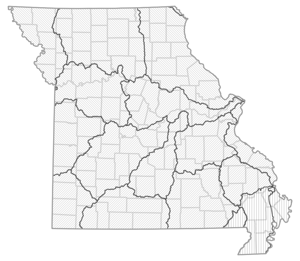
Read more about Missouri's ecological drainage units. The reference map and textured map will show ecological drainage units in a tooltip box. Refer to the county map for county names.

Reference map of Missouri ecological drainage units Central Plains: Blackwater - Lamine Central Plains: Grand - Chariton Central Plains: Kansas Central Plains: Nishnabotna - Platte Central Plains: Osage - South Grand Central Plains: Cuivre - Salt Central Plains: Des Moines Ozarks: Black - Current Ozarks: Neosho Ozarks: Gasconade Ozarks: Apple - Joachim Ozarks: Meramec Ozarks: Moreau - Loutre Ozarks: Upper Saint Francis - Castor Mississippi Alluvial Basin: Saint Francis - Little Mississippi Alluvial Basin: Saint Johns Bayou Mississippi Alluvial Basin: Black - Cache Ozarks: Osage Ozarks: White